

d) Ciclovia fiume Secchia Modenese
A cycling route starting in San Michele dei Mucchietti, Emilia-Romagna, Italy.
Overview
About this route
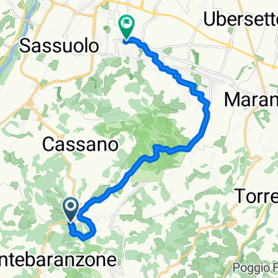
Long cycle path along the riverbank and then on the embankment of the Secchia river in the province of Modena, from the Pescale site near the Castellarano dam to the Mondine pumping station near the border with the province of Mantua.
- -:--
- Duration
- 80 km
- Distance
- 85 m
- Ascent
- 232 m
- Descent
- ---
- Avg. speed
- 166 m
- Max. altitude

Route photos
 Ciclovia fiume Secchia Modenese\"")
 Ciclovia fiume Secchia Modenese\"")
 Ciclovia fiume Secchia Modenese\"")
 Ciclovia fiume Secchia Modenese\"")
Route quality
Waytypes & surfaces along the route
Waytypes
Path
72 km
(90 %)
Quiet road
1.6 km
(2 %)
Surfaces
Paved
5.6 km
(7 %)
Unpaved
69.6 km
(87 %)
Gravel
40 km
(50 %)
Ground
25.6 km
(32 %)
Route highlights
Points of interest along the route
Point of interest after 7 km
Inizio strada bianca, beginning of the unpaved road
Continue with Bikemap
Use, edit, or download this cycling route
You would like to ride d) Ciclovia fiume Secchia Modenese or customize it for your own trip? Here is what you can do with this Bikemap route:
Free features
- Save this route as favorite or in collections
- Copy & plan your own version of this route
- Sync your route with Garmin or Wahoo
Premium features
Free trial for 3 days, or one-time payment. More about Bikemap Premium.
- Navigate this route on iOS & Android
- Export a GPX / KML file of this route
- Create your custom printout (try it for free)
- Download this route for offline navigation
Discover more Premium features.
Get Bikemap PremiumFrom our community
Other popular routes starting in San Michele dei Mucchietti
 d) Ciclovia fiume Secchia Modenese
- Distance
- 80 km
- Ascent
- 85 m
- Descent
- 232 m
- Location
- San Michele dei Mucchietti, Emilia-Romagna, Italy
 Lungo il fiume Secchia 1
- Distance
- 101.7 km
- Ascent
- 97 m
- Descent
- 248 m
- Location
- San Michele dei Mucchietti, Emilia-Romagna, Italy
 6^ TAPPA 22/09
- Distance
- 58.8 km
- Ascent
- 160 m
- Descent
- 271 m
- Location
- San Michele dei Mucchietti, Emilia-Romagna, Italy
 RJR Round trip 2
- Distance
- 77.6 km
- Ascent
- 1,281 m
- Descent
- 1,314 m
- Location
- San Michele dei Mucchietti, Emilia-Romagna, Italy
 SCANDIANO PR
- Distance
- 107.7 km
- Ascent
- 1,719 m
- Descent
- 1,821 m
- Location
- San Michele dei Mucchietti, Emilia-Romagna, Italy
 round trip 3
- Distance
- 65.4 km
- Ascent
- 973 m
- Descent
- 973 m
- Location
- San Michele dei Mucchietti, Emilia-Romagna, Italy
 Da Via Nuova 6000, Montebaranzone a Circondariale San Francesco 131, Fiorano Modenese
- Distance
- 13.2 km
- Ascent
- 150 m
- Descent
- 447 m
- Location
- San Michele dei Mucchietti, Emilia-Romagna, Italy
 21/9 PERCORSO ALTERNATIVO
- Distance
- 25 km
- Ascent
- 19 m
- Descent
- 143 m
- Location
- San Michele dei Mucchietti, Emilia-Romagna, Italy
Open it in the app