
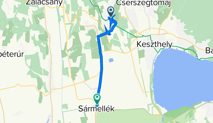
Attila utca 1., Hévíz to Dózsa György utca 132–137., Sármellék
A cycling route starting in Hévíz, Zala County, Hungary.
Overview
About this route
- 1 h 35 min
- Duration
- 15 km
- Distance
- 1,367 m
- Ascent
- 1,364 m
- Descent
- 9.5 km/h
- Avg. speed
- ---
- Max. altitude

Continue with Bikemap
Use, edit, or download this cycling route
You would like to ride Attila utca 1., Hévíz to Dózsa György utca 132–137., Sármellék or customize it for your own trip? Here is what you can do with this Bikemap route:
Free features
- Save this route as favorite or in collections
- Copy & plan your own version of this route
- Sync your route with Garmin or Wahoo
Premium features
Free trial for 3 days, or one-time payment. More about Bikemap Premium.
- Navigate this route on iOS & Android
- Export a GPX / KML file of this route
- Create your custom printout (try it for free)
- Download this route for offline navigation
Discover more Premium features.
Get Bikemap PremiumFrom our community
Other popular routes starting in Hévíz
 Karmacs - Hévíz
- Distance
- 5.8 km
- Ascent
- 44 m
- Descent
- 58 m
- Location
- Hévíz, Zala County, Hungary
 Hévíz - 15k - 140m
- Distance
- 15.9 km
- Ascent
- 137 m
- Descent
- 138 m
- Location
- Hévíz, Zala County, Hungary
 Heviz country and vine
- Distance
- 16.2 km
- Ascent
- 212 m
- Descent
- 214 m
- Location
- Hévíz, Zala County, Hungary
 Kossuth Lajos utca 15, Hévíz to Sugár utca 6, Hévíz
- Distance
- 10.5 km
- Ascent
- 140 m
- Descent
- 187 m
- Location
- Hévíz, Zala County, Hungary
 Héviz-Keszthely-Rézi-Héviz
- Distance
- 48.9 km
- Ascent
- 505 m
- Descent
- 507 m
- Location
- Hévíz, Zala County, Hungary
 Göcseji dombokon
- Distance
- 157.5 km
- Ascent
- 551 m
- Descent
- 551 m
- Location
- Hévíz, Zala County, Hungary
 Heviz-Szigliged-Heviz
- Distance
- 64.3 km
- Ascent
- 185 m
- Descent
- 185 m
- Location
- Hévíz, Zala County, Hungary
 Névtelen Út nach Ady Endre utca
- Distance
- 33.5 km
- Ascent
- 199 m
- Descent
- 199 m
- Location
- Hévíz, Zala County, Hungary
Open it in the app