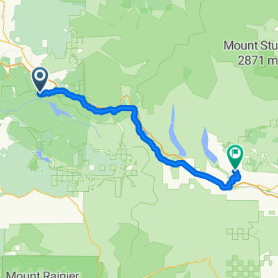

Riverbend - Cle Elum
- 64.6 km
- 1,036 m
- 1,052 m
- Riverbend, Washington, United States

Discover a map of 39 cycling routes and bike trails near Riverbend, created by our community.
Region portrait
Find the right bike route for you through Riverbend, where we've got 39 cycle routes to explore.
1,887 km
Tracked distance
39
Cycle routes
2,132
Population
Community
From our community
Cycling route in Riverbend, Washington, United States


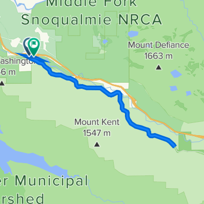
Cycling route in Riverbend, Washington, United States


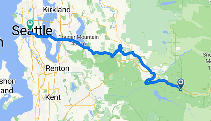
Cycling route in Riverbend, Washington, United States
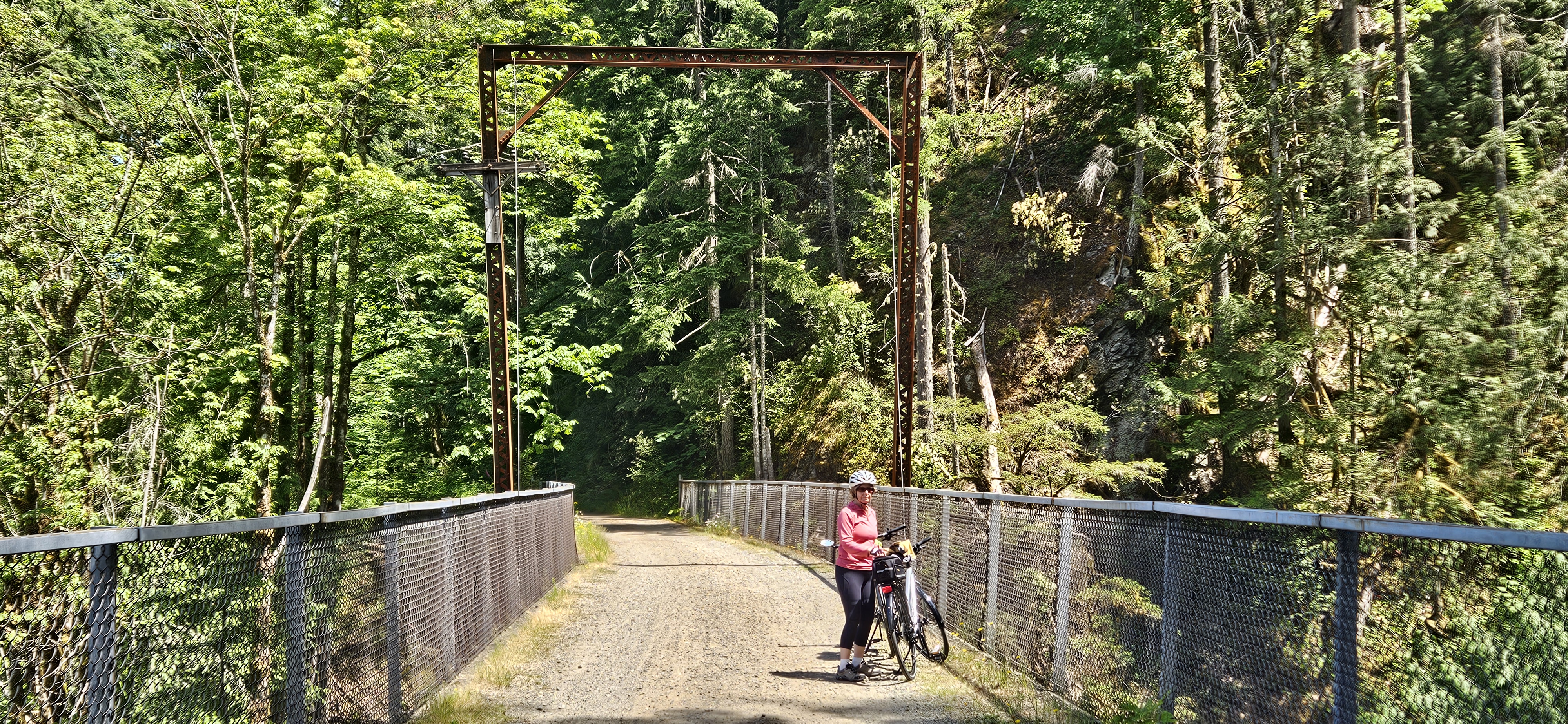
Cycling route in Riverbend, Washington, United States