
Cycling in Riverbend
Discover a map of 30 cycling routes and bike trails near Riverbend, created by our community.
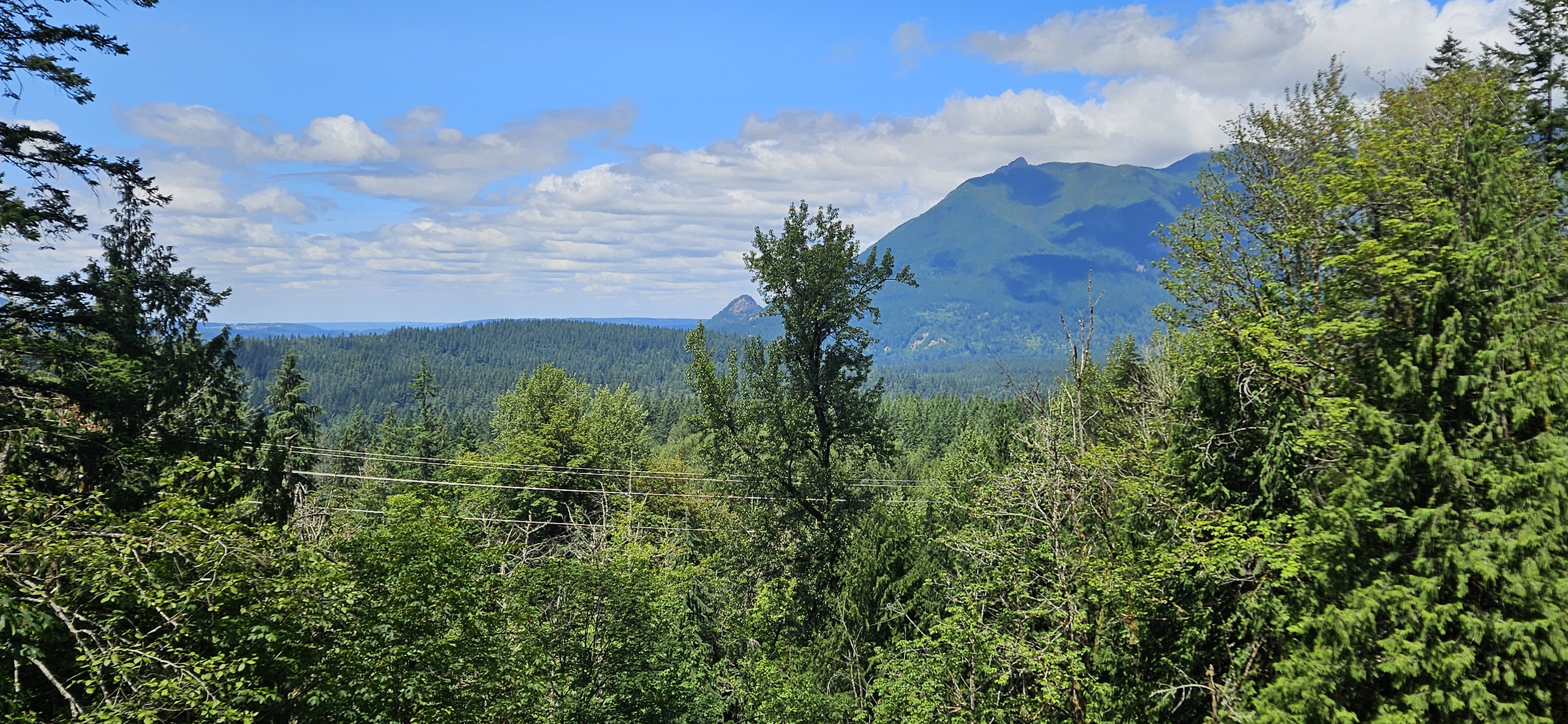
Region portrait
Get to know Riverbend
Find the right bike route for you through Riverbend, where we've got 30 cycle routes to explore.
1,298 km
Tracked distance
30
Cycle routes
2,132
Population
Community
Most active users in Riverbend


From our community
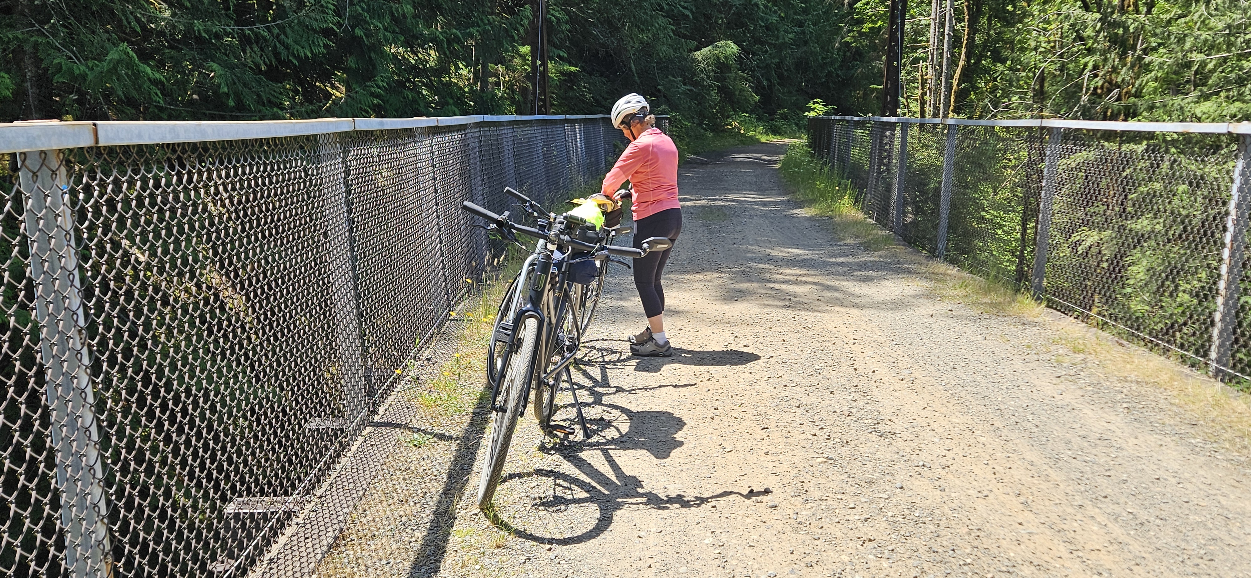
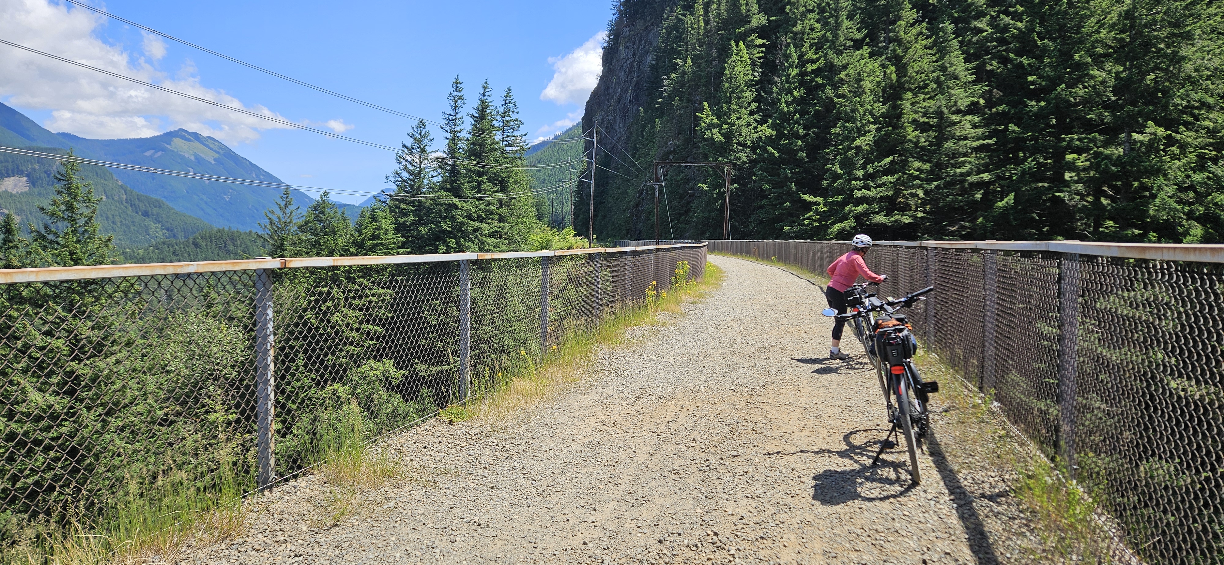
The best bike routes in and around Riverbend


Route from Iron Horse Trail, North Bend
Cycling route in Riverbend, Washington, United States of America
- 15.5 km
- Distance
- 13 m
- Ascent
- 251 m
- Descent


C6MJ+77, Cedar Falls to Iron Horse Trail, North Bend
Cycling route in Riverbend, Washington, United States of America
- 18.4 km
- Distance
- 361 m
- Ascent
- 74 m
- Descent

noq tunnelSlow ride
Cycling route in Riverbend, Washington, United States of America
- 68.8 km
- Distance
- 594 m
- Ascent
- 537 m
- Descent

Ironhorse Cascades Day 3.1 - Milwaukee RR
Cycling route in Riverbend, Washington, United States of America
Part 1 of 2 for day 3. Following the Milwaukee RR line along the river.
- 18 km
- Distance
- 111 m
- Ascent
- 227 m
- Descent
Discover more routes
 North Bend to Duvall (Snoqualmie Valley Trail)
- Distance
- 50.3 km
- Ascent
- 44 m
- Descent
- 329 m
- Location
- Riverbend, Washington, United States of America
 Rattlesnake to Duvall
- Distance
- 47.2 km
- Ascent
- 279 m
- Descent
- 576 m
- Location
- Riverbend, Washington, United States of America
 Rattlesnake to Carnation on SVT
- Distance
- 37.1 km
- Ascent
- 392 m
- Descent
- 682 m
- Location
- Riverbend, Washington, United States of America
 17851–17853 Cedar Falls Rd SE, North Bend to SE Reinig Rd, Snoqualmie
- Distance
- 15.8 km
- Ascent
- 6 m
- Descent
- 169 m
- Location
- Riverbend, Washington, United States of America
 Palouse Trail Seattle to Colombia Trail ends in Spokane Washington
- Distance
- 484.4 km
- Ascent
- 1,841 m
- Descent
- 1,586 m
- Location
- Riverbend, Washington, United States of America
 Cedar Falls ↣ Alice Creek Campground
- Distance
- 16.2 km
- Ascent
- 870 m
- Descent
- 578 m
- Location
- Riverbend, Washington, United States of America
 Ollalie to Carter Creek; return
- Distance
- 24.6 km
- Ascent
- 332 m
- Descent
- 301 m
- Location
- Riverbend, Washington, United States of America
 Bandera
- Distance
- 20.4 km
- Ascent
- 486 m
- Descent
- 479 m
- Location
- Riverbend, Washington, United States of America