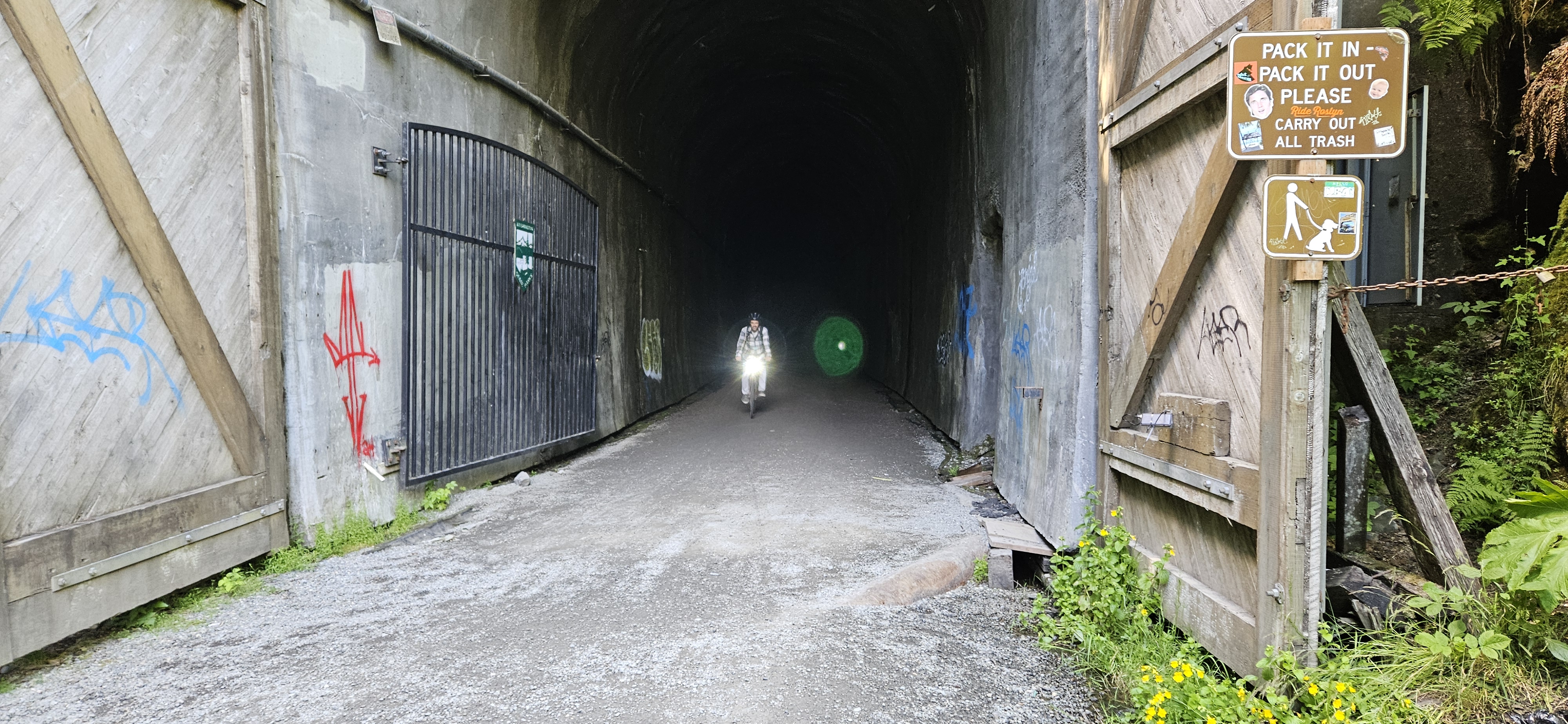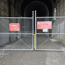
noq tunnelSlow ride
- 68.8 km
- 594 m
- 537 m
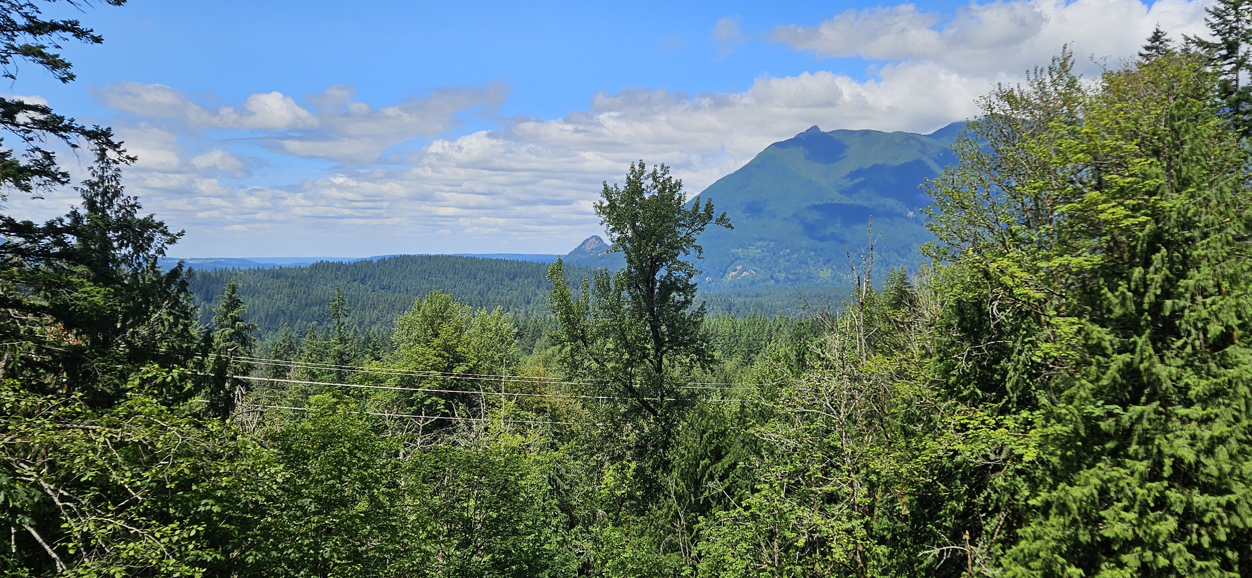
- Riverbend, Washington, United States
A cycling route starting in Riverbend, Washington, United States.
Overview
created this 2 years ago


Route quality
Cycleway
18.2 km
(99 %)
Path
0.2 km
(1 %)
Paved
0.2 km
(1 %)
Unpaved
17.8 km
(97 %)
Gravel
17.8 km
(97 %)
Asphalt
0.2 km
(1 %)
Undefined
0.4 km
(2 %)
Continue with Bikemap
You would like to ride C6MJ+77, Cedar Falls to Iron Horse Trail, North Bend or customize it for your own trip? Here is what you can do with this Bikemap route:
Free trial for 3 days, or one-time payment. More about Bikemap Premium.
Discover more Premium features.
Get Bikemap PremiumFrom our community
Open it in the app