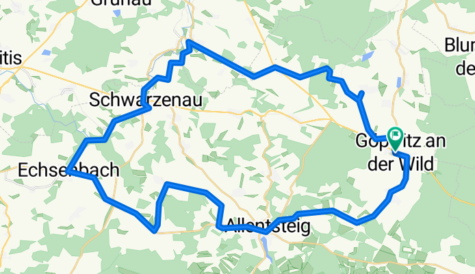


KnödelLand Radweg
- 43.5 km
- 431 m
- 433 m
- Göpfritz an der Wild, Lower Austria, Austria
A cycling route starting in Göpfritz an der Wild, Lower Austria, Austria.
Overview
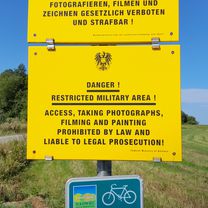
The Knödel-Land-Radweg is a circular cycling path and part of the regional cycling concept of the 5-Senses Cycling Loops ('Tasting') of the future area Thayaland.
created this 8 months ago
Route quality
Quiet road
13.5 km
(31 %)
Road
12.2 km
(28 %)
Paved
24.3 km
(56 %)
Unpaved
2.6 km
(6 %)
Asphalt
23 km
(53 %)
Gravel
2.2 km
(5 %)
Continue with Bikemap
You would like to ride KnödelLand Radweg or customize it for your own trip? Here is what you can do with this Bikemap route:
Free trial for 3 days, or one-time payment. More about Bikemap Premium.
Discover more Premium features.
Get Bikemap PremiumFrom our community
Open it in the app