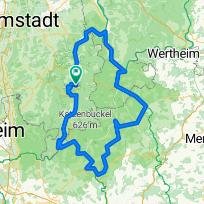
Erbach-Marbach-Spreng-Otzberg-Erbach
A cycling route starting in Erbach im Odenwald, Hesse, Germany.
Overview
About this route
Beautiful tour through the Odenwald. Passing the Marbach reservoir through the Mossau valley. A visit to the Schmucker brewery is worthwhile. In Hummetroth, you can see the remnants of the Roman villa Hasselburg. Further ahead, you can see Breuberg Castle, Otzberg Fortress, and a view towards Frankfurt and the Rhine-Main area. The return goes through the Mümling valley. From Erbach, again through the Dreiseental over Erbuch back to Erlenbach.
- -:--
- Duration
- 73.4 km
- Distance
- 712 m
- Ascent
- 712 m
- Descent
- ---
- Avg. speed
- ---
- Max. altitude
Route quality
Waytypes & surfaces along the route
Waytypes
Road
21.3 km
(29 %)
Quiet road
14.7 km
(20 %)
Surfaces
Paved
57.3 km
(78 %)
Unpaved
0.7 km
(1 %)
Asphalt
54.3 km
(74 %)
Paved (undefined)
2.9 km
(4 %)
Continue with Bikemap
Use, edit, or download this cycling route
You would like to ride Erbach-Marbach-Spreng-Otzberg-Erbach or customize it for your own trip? Here is what you can do with this Bikemap route:
Free features
- Save this route as favorite or in collections
- Copy & plan your own version of this route
- Sync your route with Garmin or Wahoo
Premium features
Free trial for 3 days, or one-time payment. More about Bikemap Premium.
- Navigate this route on iOS & Android
- Export a GPX / KML file of this route
- Create your custom printout (try it for free)
- Download this route for offline navigation
Discover more Premium features.
Get Bikemap PremiumFrom our community
Other popular routes starting in Erbach im Odenwald
- 2. Tour Odenwald Klinge
- Distance
- 104.8 km
- Ascent
- 1,125 m
- Descent
- 1,125 m
- Location
- Erbach im Odenwald, Hesse, Germany
- Schmuckertour
- Distance
- 53.3 km
- Ascent
- 730 m
- Descent
- 731 m
- Location
- Erbach im Odenwald, Hesse, Germany
- Westliche Rundtour
- Distance
- 44.3 km
- Ascent
- 602 m
- Descent
- 604 m
- Location
- Erbach im Odenwald, Hesse, Germany
- Triple E
- Distance
- 83.8 km
- Ascent
- 516 m
- Descent
- 516 m
- Location
- Erbach im Odenwald, Hesse, Germany
- Odenwald 1
- Distance
- 41.8 km
- Ascent
- 673 m
- Descent
- 648 m
- Location
- Erbach im Odenwald, Hesse, Germany
- RSG - Rund im Odenwald 2008
- Distance
- 113 km
- Ascent
- 2,007 m
- Descent
- 1,866 m
- Location
- Erbach im Odenwald, Hesse, Germany
- kleine hügelrunde um erbach
- Distance
- 37.2 km
- Ascent
- 874 m
- Descent
- 842 m
- Location
- Erbach im Odenwald, Hesse, Germany
- Von Hüttenthal nach Keilbach
- Distance
- 24 km
- Ascent
- 547 m
- Descent
- 588 m
- Location
- Erbach im Odenwald, Hesse, Germany
Open it in the app