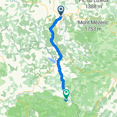
Jakobsweg Etappe 7 - Via Podensis : Le Puy - Decazeville
A cycling route starting in Le Puy-en-Velay, Auvergne-Rh么ne-Alpes, France.
Overview
About this route
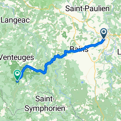
Le Puy - Decazeville: along the Camino de Santiago (GR 65).
Scenically one of the most attractive sections with many architectural gems (Romanesque churches, parts of the path are UNESCO World Heritage) along the route.
The cathedral of Le Puy is absolutely worth seeing, as is the entire village of Conques, which is designated as a UNESCO World Heritage site. The church of Nasbinales also has something special. There are also many small charming villages along the route.
In Aubrac, there is a fantastic view of the western lowland near Bordeaux. The descent is 20 km long and grand!
We follow almost exclusively the smallest roads: occasionally steep but beautiful.
After Conques, one can also choose the beautiful and flatter variant via Grand Vabre (D901), St-Parthem, and Flagnac along the Lot to Livinac-le-Haut.
- -:--
- Duration
- 226 km
- Distance
- 2,507 m
- Ascent
- 2,943 m
- Descent
- ---
- Avg. speed
- ---
- Max. altitude
Route quality
Waytypes & surfaces along the route
Waytypes
Road
54.2 km
(24 %)
Quiet road
33.9 km
(15 %)
Surfaces
Paved
126.6 km
(56 %)
Unpaved
6.8 km
(3 %)
Asphalt
126.6 km
(56 %)
Gravel
4.5 km
(2 %)
Route highlights
Points of interest along the route
Point of interest after 7.1 km
GR
Point of interest after 23.1 km
Camping Municipal (?) Le Marchat H么tel Augerge
Point of interest after 46.9 km
Camping Municipal
Point of interest after 54.2 km
Domerie templiere
Point of interest after 56.6 km
GR mit Kapelle?
Point of interest after 64.2 km
H么tel Oustal des Parents + gites d'茅tape
Point of interest after 69.7 km
Camping Le Galier
Point of interest after 111.1 km
Camping municipal 700m vom Ortskern
Point of interest after 149.5 km
CAMPING Le ROC DE L'ARCHE *** Le Foirail gut
Point of interest after 160.9 km
Camping municipal
Point of interest after 173.4 km
Camping municipal
Point of interest after 191.2 km
Camping L'Etang du camp G卯tes
Point of interest after 204.5 km
Camping Beau Rivage
Point of interest after 210.9 km
Pilgerherberge
Continue with Bikemap
Use, edit, or download this cycling route
You would like to ride Jakobsweg Etappe 7 - Via Podensis : Le Puy - Decazeville or customize it for your own trip? Here is what you can do with this Bikemap route:
Free features
- Save this route as favorite or in collections
- Copy & plan your own version of this route
- Split it into stages to create a multi-day tour
- Sync your route with Garmin or Wahoo
Premium features
Free trial for 3 days, or one-time payment. More about Bikemap Premium.
- Navigate this route on iOS & Android
- Export a GPX / KML file of this route
- Create your custom printout (try it for free)
- Download this route for offline navigation
Discover more Premium features.
Get Bikemap PremiumFrom our community
Other popular routes starting in Le Puy-en-Velay
- 2019-18 Le-Puy-en-Velay - Circle to Queyri猫res
- Distance
- 52.6 km
- Ascent
- 682 m
- Descent
- 681 m
- Location
- Le Puy-en-Velay, Auvergne-Rh么ne-Alpes, France
- Jakobsweg 2018
- Distance
- 645.1 km
- Ascent
- 2,206 m
- Descent
- 2,674 m
- Location
- Le Puy-en-Velay, Auvergne-Rh么ne-Alpes, France
- Jakobsweg Etappe 7 - Via Podensis : Le Puy - Decazeville
- Distance
- 226 km
- Ascent
- 2,367 m
- Descent
- 2,802 m
- Location
- Le Puy-en-Velay, Auvergne-Rh么ne-Alpes, France
- Le Puy en Velay / Saint Vincent
- Distance
- 35.9 km
- Ascent
- 220 m
- Descent
- 224 m
- Location
- Le Puy-en-Velay, Auvergne-Rh么ne-Alpes, France
- Tour 2010 (3)
- Distance
- 121.7 km
- Ascent
- 1,856 m
- Descent
- 1,600 m
- Location
- Le Puy-en-Velay, Auvergne-Rh么ne-Alpes, France
- Jakobsweg Etappe 7 - Via Podensis : Le Puy - Decazeville
- Distance
- 226 km
- Ascent
- 2,507 m
- Descent
- 2,943 m
- Location
- Le Puy-en-Velay, Auvergne-Rh么ne-Alpes, France
- Le Puy en Velay - Saint Jean Pied de Port
- Distance
- 715.6 km
- Ascent
- 2,295 m
- Descent
- 2,772 m
- Location
- Le Puy-en-Velay, Auvergne-Rh么ne-Alpes, France
- Von le Puy-en-Velay - Pamblona
- Distance
- 733.5 km
- Ascent
- 8,996 m
- Descent
- 9,287 m
- Location
- Le Puy-en-Velay, Auvergne-Rh么ne-Alpes, France
Open it in the app