

zum Schloß Fürstenau
A cycling route starting in Höchst im Odenwald, Hesse, Germany.
Overview
About this route
Today I mounted a new saddle and tested it on an easy route. So far, I am very satisfied with the part. #noebike
- -:--
- Duration
- 34.7 km
- Distance
- 246 m
- Ascent
- 244 m
- Descent
- ---
- Avg. speed
- ---
- Max. altitude

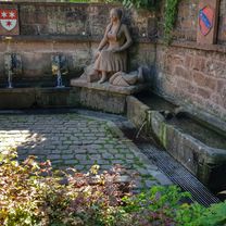
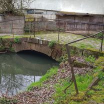
Route photos


Route quality
Waytypes & surfaces along the route
Waytypes
Quiet road
13.9 km
(40 %)
Track
13.5 km
(39 %)
Surfaces
Paved
21.2 km
(61 %)
Unpaved
8.3 km
(24 %)
Asphalt
20.8 km
(60 %)
Ground
3.8 km
(11 %)
Continue with Bikemap
Use, edit, or download this cycling route
You would like to ride zum Schloß Fürstenau or customize it for your own trip? Here is what you can do with this Bikemap route:
Free features
- Save this route as favorite or in collections
- Copy & plan your own version of this route
- Sync your route with Garmin or Wahoo
Premium features
Free trial for 3 days, or one-time payment. More about Bikemap Premium.
- Navigate this route on iOS & Android
- Export a GPX / KML file of this route
- Create your custom printout (try it for free)
- Download this route for offline navigation
Discover more Premium features.
Get Bikemap PremiumFrom our community
Other popular routes starting in Höchst im Odenwald
 zum Biergarten nach Umscht
- Distance
- 30.8 km
- Ascent
- 470 m
- Descent
- 465 m
- Location
- Höchst im Odenwald, Hesse, Germany
 von Brunnen zu Brunnen nach Erbach
- Distance
- 43.2 km
- Ascent
- 201 m
- Descent
- 199 m
- Location
- Höchst im Odenwald, Hesse, Germany
 durch den Mühlgrund
- Distance
- 42.9 km
- Ascent
- 411 m
- Descent
- 408 m
- Location
- Höchst im Odenwald, Hesse, Germany
 Rimhorn-Lützelbach-Hainstadt Runde
- Distance
- 30.4 km
- Ascent
- 617 m
- Descent
- 620 m
- Location
- Höchst im Odenwald, Hesse, Germany
 zum Obernburger Waldhaus
- Distance
- 35.6 km
- Ascent
- 327 m
- Descent
- 324 m
- Location
- Höchst im Odenwald, Hesse, Germany
 zum Schloß Fürstenau
- Distance
- 34.7 km
- Ascent
- 246 m
- Descent
- 244 m
- Location
- Höchst im Odenwald, Hesse, Germany
 Frankfurter Straße-Binselberg-Wendelinuskapelle-Umstadt
- Distance
- 35.7 km
- Ascent
- 479 m
- Descent
- 477 m
- Location
- Höchst im Odenwald, Hesse, Germany
 3 Brunnen Runde
- Distance
- 31.2 km
- Ascent
- 441 m
- Descent
- 437 m
- Location
- Höchst im Odenwald, Hesse, Germany
Open it in the app