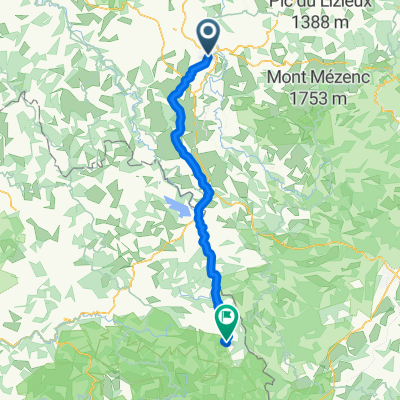
Day 1 - Way of St. James - Le Puy to SJPP
- 42.9 km
- 972 m
- 643 m
- Le Puy-en-Velay, Auvergne-Rhône-Alpes, France
A cycling route starting in Le Puy-en-Velay, Auvergne-Rhône-Alpes, France.
Overview
This was a pretty good route. Close to Le Puy and up to St-Julien-Chapteuil, there was more traffic than one would like, but there was some bicycle lane for part of that stretch along D15. After St-Julien-Chapteuil, the traffic thinned and the riding was fine.
The climbing is pretty much non-stop for the first 25 or 26 kilometers up to about 1265M. Overall, some nice scenery.
created this 2 years ago

Route quality
Quiet road
1.4 km
(3 %)
Access road
0.5 km
(1 %)
Paved
37.9 km
(79 %)
Unpaved
0.5 km
(1 %)
Asphalt
37.9 km
(79 %)
Ground
0.5 km
(1 %)
Undefined
9.6 km
(20 %)
Continue with Bikemap
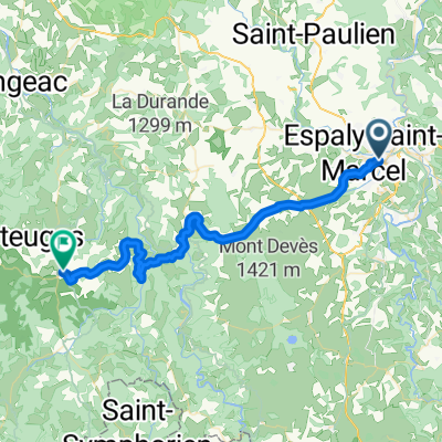
You would like to ride Le Puy-en-Velay to Le Mazel, Saint-Agrève or customize it for your own trip? Here is what you can do with this Bikemap route:
Free trial for 3 days, or one-time payment. More about Bikemap Premium.
Discover more Premium features.
Get Bikemap PremiumFrom our community
Open it in the app